
Athol Rabbit Run Rail Trail’s first phase unveiled
 and Planning and Development Director Eric Smith discuss Phase 1A of the Rabbit Run Rail Trail at last week's meeting of the town's Open Space and Recreation Commission.")
Connor Keating of the engineering firm of Howard Stein Hudson (left) and Planning and Development Director Eric Smith discuss Phase 1A of the Rabbit Run Rail Trail at last week's meeting of the town's Open Space and Recreation Commission. PHOTO BY GREG VINE
| Published: 06-03-2025 3:00 PM |
ATHOL – Representatives of the Worcester engineering firm Howard Stein Hudson met last week with members of the Open Space and Recreation Commission to present the final design for part of the first phase for the proposed Rabbit Run Rail Trail.
Once completed, the 6.2-mile trail will run from the New Salem town line to downtown Athol. Development will be done in four phases, with Phase 1 done as two separate projects.
Chris Lyman, civil engineer with Howard Stein Hudson, said, “We kind of wanted to pick out the easiest section because this (design process) is running through grants and you only have a certain amount of time to design it before the first grant ends. So, we chose the easiest section, which wouldn’t require a lot of rights of way or takings of any kind. Originally, it was going to be all of Phase 1, but we split it into Phase 1A and B just because of how complicated the (northern section) between downtown and where the existing trail starts now would be. It’s a difficult spot because it will require a lot of land acquisition.”
The first section of the trail runs south from what is known locally as the Bidwell property to Thrower Road, about eight-tenths of a mile. The southern terminus is just north of Route 2.
Planning and Development Director Eric Smith explained that this section of the trail—which is in the middle of the overall project—was chosen to lead off the project, in part, because of challenges associated with developing the trail from the Bidwell property to downtown Athol.
Much of the original rail bed, he said, has become overgrown, with several houses along the route. Smith added that some property owners along the route of Phase 1A have expressed a willingness to grant a right-of-way for the trail across their property.
Howard Stein Hudson engineer in training Connor Keating told the OSRC that the final design for Phase 1A includes a parking lot on the Bidwell Farm property.
“The parking lot would have 21 spots. And then we’ll have gated access at the trail. There will be about 15 feet between the gate and the bollards, for the protection of bicyclists and to prevent vehicles. Emergency vehicles will have access to this, and the DPW.”
Article continues after...
Yesterday's Most Read Articles
 Massachusetts educators grappling with suspended high school graduation requirements
 Athol Police Logs, May 11 - June 9, 2025
 Tour of Athol High School shows issues with building
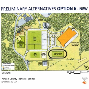 8 design options aired for new or renovated Franklin County Technical School
 How Pioneer baseball’s culture fueled an unbeaten season and dramatic state championship win
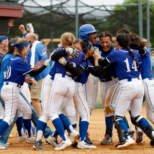 Abarua’s extra-inning heroics power Turners Falls past Greenfield for 12th state softball crown (PHOTOS)
Keating said the trail would be 10 feet wide with a two-foot shoulder on either side.
“It will be about 14 feet of stabilized aggregate crushed stone,” he said. “We are proposing a cedar rail fence in areas where there’s a drop-off. We’ll also have trail markers so that people know where they are on the trail.”
When engineers examined the rail bed in March, said Keating, a lot of water was seen at some points.
“There are existing wetlands on both sides and we noticed that water was getting up onto the rail bed,” Keating said. “So, what we did is we raised (the trail) up about a foot through this section. That way we’ll keep the water on both sides and it won’t get on the trail.”
In addition, the trail will have a slope on either side which will allow any water that does get on the trail to run off into the wetlands.
“We’re also trying to improve drainage along the trail,” said Keating. “We are going to be replicating the wetlands as well. So, for every square foot we impact, we have to replicate the wetland.”
At one point along the trail, walkers and cyclists will have to cross South Athol Road just over 1,000 feet north of Thrower Road. In addition to a crosswalk, Keating said flashing signs will be installed, as will signs warning motorists that a crosswalk is ahead.
The trail will run along South Athol Road for the final thousand feet, but Keating said it will be about 20 feet from the road.
Phase IA also calls for the availability of some parking in the Thrower Road area, thus allowing for parking at either end of the initial development.
The next steps in the development of Phase 1A will be coming up with funding and putting out a request for proposals. Estimates on the cost of the work run from $1.6 million to $2.2 million.
“The state said trails are one of its priorities, but there aren’t any rail trails or bike paths anywhere between Gardner and Turners Falls,” Smith said. “So, this should be a great project for Athol.”
The Athol & Enfield Railroad, known as the Rabbit Line, began operations in 1871 and eventually ran from Springfield to Athol. It was discontinued with the creation of Quabbin Reservoir in the 1930s.
Greg Vine can be reached at gvineadn@gmail.com.
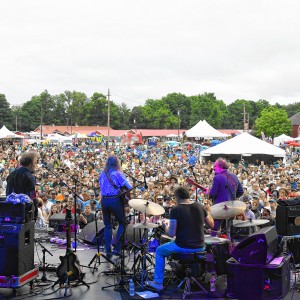 Green River Festival to welcome 40-plus bands, bring back local beer in 39th year
 Orange man arraigned in alleged stabbing
 Saying ‘no to authoritarianism’: Estimated 600 protesters convene for ‘No Kings Day’ in Orange
 Royalston Building Committee found to have violated Open Meeting Law, fined by AG